GeoCrop
Mapping tool for agricultural holdings using open-access data
- https://agrotech.upc.edu/en/projects-events/geocrop
- GeoCrop
- 2024-11-01T13:00:00+01:00
- 2026-06-29T14:00:00+02:00
- Mapping tool for agricultural holdings using open-access data
Nov 01, 2024 01:00 PM to Jun 29, 2026 02:00 PM (Europe/Madrid / UTC100)


UPC research groups: IDEAI, WNG and HorPTA
Companies: Ametller Origen, La Unió Cooperative and Clúster FoodService
Who is the project aimed at?
Primarily agricultural producers and public administrations in the agri-food sector, particularly those focused on outdoor crops such as fruit trees and horticultural crops. It is also relevant to research centres and stakeholders involved in precision agriculture innovation.
Project objective
To improve market orientation and increase the competitiveness of agricultural holdings in both the short and long term by integrating digital technologies, such as geolocation and artificial intelligence, to optimise crop planning and address the effects of climate change.
Project description
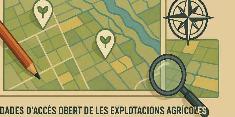
A tool designed to georeference agri-environmental information through a mapping system. This information comes from both open-access data and the agricultural holdings themselves, and is used to train artificial intelligence algorithms that generate useful indices for agricultural decision-making.
Visualising and analysing these indices enables producers and public administrations to plan crops more effectively by identifying the areas best suited to each type of agricultural activity. In addition, the project involves clustering areas according to their agricultural characteristics to promote more competitive and climate-resilient farming.
GEO-CROP aligns with European objectives for digital transformation and sustainability in the agri-food sector.
Funding: 
Share: